Intro to OSINT & Geolocation 1
18 Feburary, 2026
What is OSINT?
Open-source intelligence, or OSINT, refers to all the data that’s available publicly online. OSINT challenges in CTFs involve the resourceful use of such data to (typically) geolocate an image or track a user’s digital footprint. Most CTFs will have at least a few OSINT challenges, making it a pretty useful skill to learn.
Geolocation
Most geolocation challenges just use screenshots from Google Maps, so we can exploit the usual GeoGuessr “metas.” The metas involve identifying features of the Google Maps Street View car and other objects around the car. The usual GeoGuessr resources such as Plonkit and Geohints can be used as reference.
Example 1
In a recent CTF that ended (0xfun 2026), players were presented with the following image and ask to identify the road that the image was taken on.
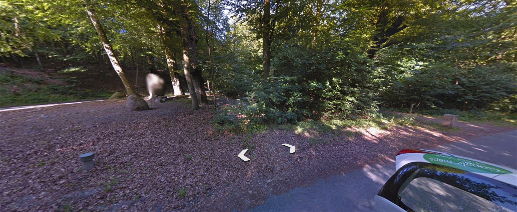
The only identifying feature in the image is the back trunk of the Google car in the bottom right corner of the image. Using Geohint’s Google Vehicle meta, we can look through the car images until we find Denmark, which has the exact same Google Car trunk.
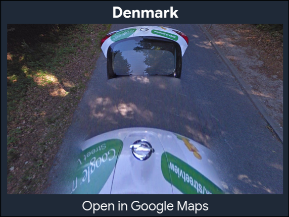
Clicking “Open in Google Maps” tells us we are in Denmark, on a road named Kongebrovej.
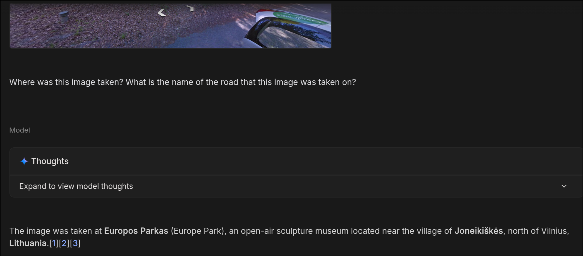
Even Gemini 3-Thinking (usually a very strong model for OSINT due to its training on Google Maps) was unable to answer correctly:
OSINT
Aside from geolocation, many OSINT challenges require you to track the digital footprint of an internet account. While most challenges can be solved with Googling, there are a few good resources I recommend:
- OSINT Framework - Great aggregator of OSINT tools
- Sherlock - Search a username across 400+ social media websites